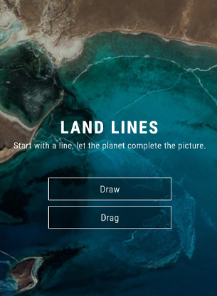
Land Lines is an experiment that lets you explore Google Earth satellite imagery through gesture. You can “Draw” a line to find a satellite image that matches it; Or you can “Drag” to create an infinite line of connected rivers,coastlines and highways .
Using a combination of machine learning, optimized algorithms, and graphics card power, the experiment is able to run efficiently on your phone’s web browser without a need for backend servers.
Made by Zach Lieberman, Matt Felsen, and the Data Arts Team.
And now, click on the image below to try it.
